Good morning everyone!
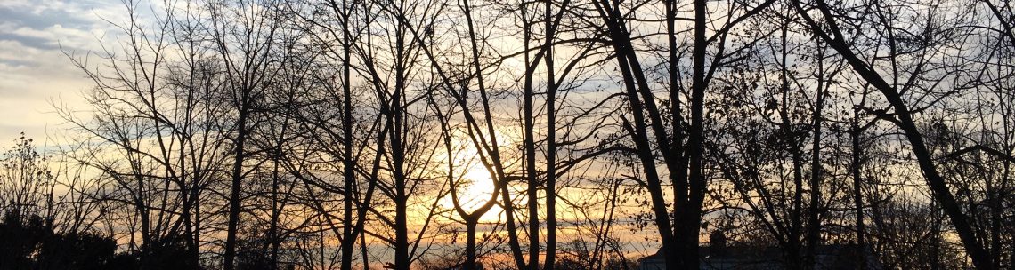
Skies across the area are mostly clear and temperatures range from 66 in Clifton down to 59 at Walpack. Winds are light from the west. The air quality is good with an index of 30.
CLIFTON’S ALMANAC FOR AUGUST 9TH:
AVERAGE HIGH: 84 AVERAGE LOW: 66
RECORD HIGH: 100 – 2001 RECORD LOW: 50 – 1989
YESTERDAY’S HIGH: 79 LOW: 68 PRECIPITATION: NONE
High pressure building in from the west will give us a very pleasant summer day with warm temperatures and low humidity along with a nice westerly breeze.
A frontal system will likely give us more shower and thunderstorm activity on Thursday, mainly in the afternoon and night, humidity will rise with dew points near 70.
High pressure will build into the area on Friday giving us another nice day with near seasonable temperatures and lower humidity.
The weekend looks to be mainly dry and warm, except for a low chance of showers Saturday night. Humidity will be low on Saturday but a little higher on Sunday.
Another frontal system will give us chance of showers and thunderstorms Monday afternoon and evening, followed by a sunny day on Tuesday.
THE FORECAST:
TODAY – AUG 9 – Sunny, highs in the upper 80s.
TONIGHT – Mostly clear, low in the upper 60s.
THURSDAY – AUG 10 – Increasing clouds and becoming more humid with showers in the afternoon and night with possibly some thunderstorms, highs in the low 80s.
FRIDAY – AUG 11 – Sunny and less humid, highs in the upper 80s.
SATURDAY – AUG 12 – Mostly sunny, highs in the upper 80s, chance of showers at night.
SUNDAY – AUG 13 – Mostly sunny, highs in the upper 80s.
MONDAY – AUG 14 – Partly sunny with a chance of mainly afternoon and evening showers and thunderstorms, highs in the mid 80s.
TUESDAY – AUG 15 – Mostly sunny, highs in the mid 80s.
MARINE FORECAST: TODAY – West-northwest winds to 20 knots, seas 1-2 feet. Belmar’s ocean temperature is 73 degrees.
OUTLOOK: No advisories expected Thursday through Sunday.
Have a nice day but please stay safe!