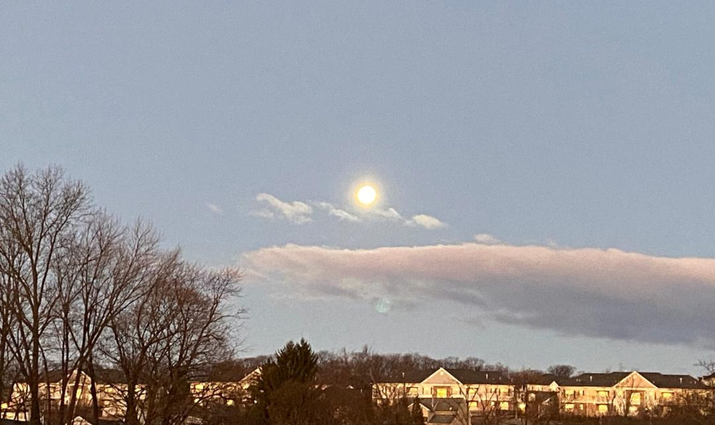
Good morning everyone!
Another cloudy and mild morning with some drizzle in the area, temperatures are mainly in the low 40s. Winds are mainly calm. The air quality is good with an index of 30.
CLIFTON’S ALMANAC FOR DECEMBER 29TH:
AVERAGE HIGH: 38 AVERAGE LOW: 22
RECORD HIGH: 66 – 1984 RECORD LOW: 7 – 1987
YESTERDAY’S HIGH: 51 LOW: 46 PRECIPITATION: 1.42″ STORM TOTAL: 2.27″
A weak cold front moving through the area this morning, low clouds and drizzle this morning will be followed by drier air this afternoon and we should finally see some sunshine this afternoon. Temperatures will continue to be mild.
Saturday will be partly sunny and a little cooler and it will be a little breezy in the afternoon.
Continued dry Sunday and on New Year’s Day with temperatures cooler but still slightly above normal.
Mostly sunny days Tuesday and Wednesday with again temperatures a little above normal.
The next chance of precipitation looks to be on Thursday but with not much cold air in the area the precipitation again will be in the form of rain.
THE FORECAST:
TODAY – DEC 29 – Some fog and drizzle this morning becoming partly sunny this afternoon, highs in the mid 50s.
TONIGHT – Mostly cloudy, lows in the upper 30s.
SATURDAY – DEC 30 – Partly sunny, highs in the upper 40s.
SUNDAY – DEC 31 – Mostly sunny, highs in the upper 40s.
NEW YEAR’S DAY – JAN 1 – Partly sunny, highs in the mid 40s.
TUESDAY – JAN 2 – Sunny, highs in the mid 40s.
WEDNESDAY – JAN 3 – Mostly sunny, highs in the upper 40s.
THURSDAY – JAN 4 – Partly sunny with a chance of rain in the afternoon, highs in the mid 40s.
MARINE FORECAST: TODAY – Westerly winds to 10 knots, seas 2-3 feet.
OUTLOOK: Advisories likely on Saturday; no advisories expected for Sunday and Monday; possible small craft advisories for Tuesday.
Have a nice day but please stay safe!
