Good morning everyone!
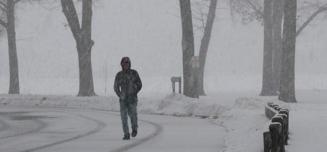
Light snow is falling over much of the area early on this Saturday morning and temperatures range from 26 in Clifton down to 20 at High Point. Winds are light and variable. The air quality is good with an index of 42.
CLIFTON’S ALMANAC FOR JANUARY 11TH:
AVERAGE HIGH: 36 AVERAGE LOW: 22
RECORD HIGH: 68 – 2020 RECORD LOW: 1 – 1982
YESTERDAY’S HIGH: 40 LOW: 24 PRECIPITATION: NONE
Low pressure moving off the coast well to our south will give us some light snow showers that should end by mid-morning, accumulations should only be a dusting to 1/2″. Partial clearing by late in the day with a slight increase in winds.
Sunday and Monday will be mostly sunny both days with temperatures a little above normal
Colder air will filter into our area for Tuesday through Thursday with below normal temperature. It will be breezy but not as windy as we had the last few days.
Dry weather should continue on Friday along with slightly milder temperatures.
THE FORECAST:
TODAY – JAN 11 – Mostly cloudy with light snow ending around 9 a.m. highs in the upper 30s, accumulations of a dusting to 1/2″
TONIGHT – Mostly clear, lows in the upper 20s.
SUNDAY – JAN 12 – Sunny, highs in the low 40s
MONDAY – JAN 13 – Mostly sunny, highs in the low 40s.
TUESDAY – JAN 14 – Mostly sunny and colder, highs in the low 30s.
WEDNESDAY – JAN 15 – Mostly sunny, highs in the low 30s.
THURSDAY – JAN 16 – Mostly sunny, highs in the low 30s.
FRIDAY – JAN 17 – Mostly sunny and not as cold, highs near 40.
MARINE FORECAST: TODAY – Westerly winds to 20 knots, seas 1 foot.
OUTLOOK: A small craft advisory has been posted effective between 4 p.m. this afternoon through 6 a.m. Sunday morning; no advisories expected Sunday through the day on Monday; advisories possible Monday night; advisories expected for Tuesday and Wednesday.
Have a nice weekend but please stay safe!