Good morning everyone!
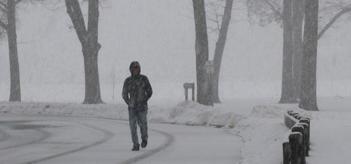
Skies are mostly cloudy early on this Presidents Day and temperatures range from 28 in Clifton down to 18 at High Point. Winds are gusting from the west up to 40 mph. The air quality is good with an index of 33.
CLIFTON’S ALMANAC FOR FEBRUARY 17TH:
AVERAGE HIGH: 40 AVERAGE LOW: 25
RECORD HIGH: 67 – 1976 RECORD LOW: -1 – 1979
YESTERDAY’S HIGH: 41 LOW: 32 PRECIPITATION: 1.35″ ICE: TRACE
The storm that gave us the heavy rain yesterday has moved just off the Maine coast as Arctic high pressure builds from the west. The pressure gradient between these systems will cause strong winds all day today with possible gusts to 50 mph. Skies will be mostly sunny. A wind advisory is in effect.
Dry but still breezy Tuesday and Wednesday as the low pressure will be slow to move through the Canadian maritime region, temperatures will be cold with lows in the teens and highs staying below freeezing.
The chances of a significant snowstorm have decreased for Thursday as most if not all of the computer models have the storm moving well south and east of our area with only some snow showers here.
Dry and not as cold Friday through the weekend.
THE FORECAST:
TODAY – FEB 17 – Mostly sunny and very windy, highs in the mid 30s, wind gusts to 50 mph possible.
TONIGHT – Mostly clear and breezy, lows in the mid teens.
TUESDAY – FEB 18 – Sunny and breezy, highs in the upper 20s.
WEDNESDAY – FEB 19 – Partly sunny, highs near 30.
THURSDAY – FEB 20 – Mostly cloudy with a chance of snow showers, highs near 30.
FRIDAY – FEB 21 – Sunny, highs in the upper 30s.
SATURDAY – FEB 22 – Sunny, highs in the upper 30s.
SUNDAY – FEB 23 – Mostly sunny, highs near 40.
MARINE FORECAST: A gale warning is in effect until 6 a.m. Tuesday morning for westerly winds gusting to 40 knots, seas 6-9 feet.
OUTLOOK: Advisories expected to continue for Tuesday; no advisories expected for Wednesday; advisories expected again for Thursday; still possible advisories for Friday.
Have a nice day and stay safe!