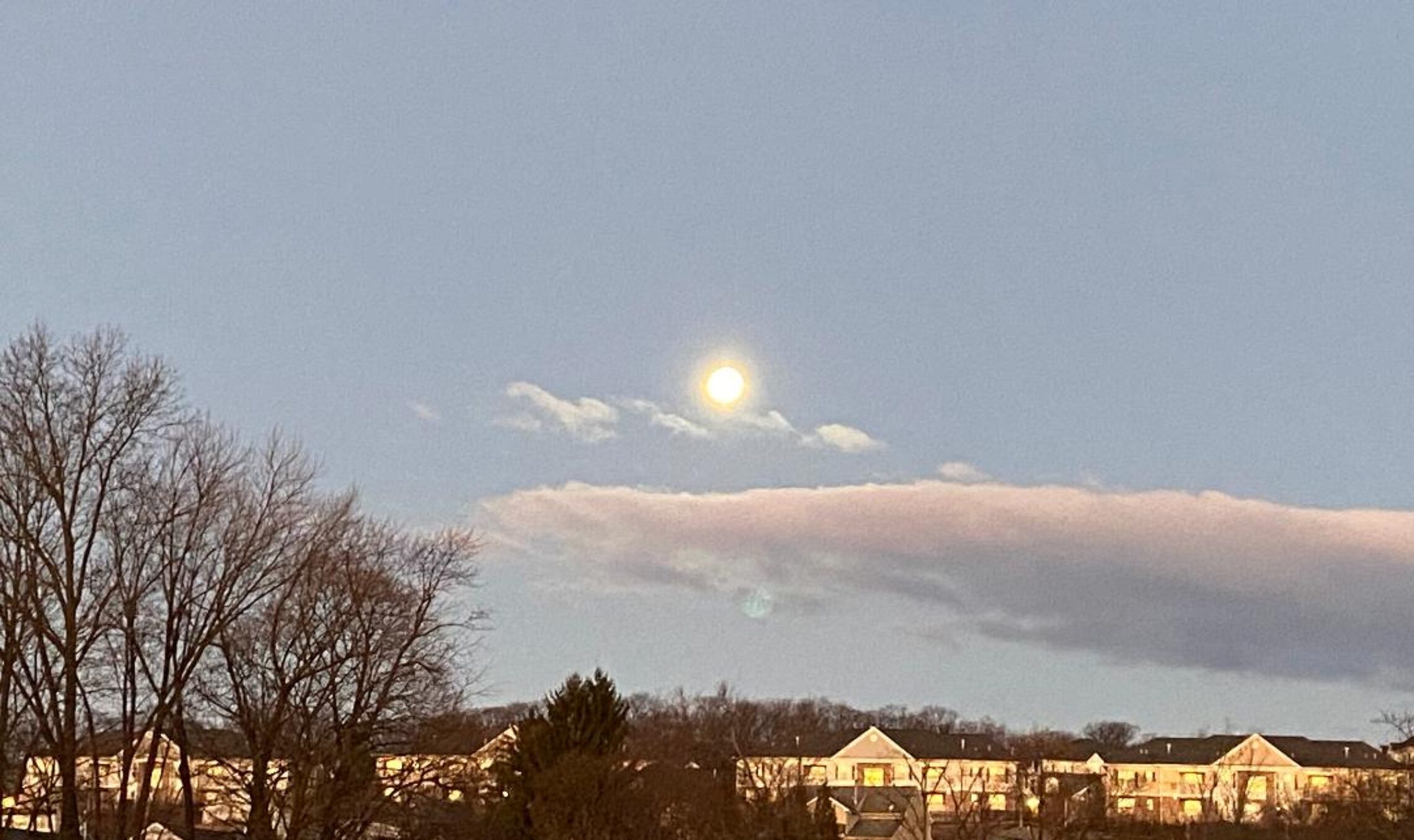
Good morning everyone! Rain is falling early this morning but has mixed with and changed to snow inland mainly at the higher elevations, temperatures have fallen to the upper 30s in Clifton but range down to the low 30s further inland, winds are brisk out of the north. 1.20″ of rain has fallen since last night.
The strong coastal storm is about 100 miles east of the New Jersey coast this morning and will slowly move east and intensify. Rain from this system will continue heavy at times but will mix with snow later this morning, an inch of additional rainfall is likely, snow accumulations will be around an inch in the Clifton area but up to a foot inland mainly inland at elevations above 1000 feet. Damaging winds are likely later this morning and especially this afternoon and evening with gusts up to 60 mph possible. The precipitation should end around 8 p.m. this evening.
The weekend should be dry with seasonably cool temperatures, it will be windy on Saturday with diminishing winds on Sunday.
Dry weather should continue with continued seasonable temperatures early next week.
Another coastal storm will give us a chance of rain or snow on Wednesday.
THE FORECAST:
TODAY – MAR 2 – Flood watch and a high wind warning in effect! Rain mixing with snow, snow accumulation around an inch, much higher amounts inland, wind gusts to 60 mph possible, high in the upper 30s.
TONIGHT – Rain and snow ending, very windy with gusts to 55 mph diminishing after midnight, low in the mid 30s.
SATURDAY – MAR 3 – Mostly cloudy in the morning then becoming partly sunny, breezy, highs in the upper 40s.
SUNDAY – MAR 4 – Mostly sunny, high in the mid 40s.
MONDAY – MAR 5 – Sunny, high in the upper 40s.
TUESDAY – MAR 6 – Mostly sunny, high in the mid 40s.
WEDNESDAY – MAR 7 – Mostly cloudy with a chance of rain or snow, high in the mid 40s.
THURSDAY – MAR 8 – Mostly sunny, high in the mid 40s.
MARINE FORECAST: A storm warning is in effect until 6 a.m. Saturday morning for northwest winds gusting to 55 knots, seas building to 8-12 feet.
OUTLOOK – Gales expected on Saturday; small craft conditions expected Sunday and Monday.
FEBRUARY 2018 Clifton Climate Summary:
This month the temperature averaged 6.5 degrees above normal making it the second warmest February since my records began in 1973, the average temperature was 39.3 degrees just missing the warmest by 3/10 of a degree which was just set last year.
Highest temperature was an incredible 80 degrees on the 21st. Lowest temperature was 13 degrees recorded on the 3rd.
Precipitation was more than double the average with 6.50 inches recorded.
Snowfall was a little below average with 8.6 inches recorded with the biggest snowfall was 7.8 inches on the 17th.
We had 17 days with measurable precipitation. This month had the most hours of precipitation and also overcast skies than any February since I started my records.
WINTER MONTHS December through February.
The average temperature was slightly above normal with precipitation and snowfall a bit below normal.
Despite the storm try to have a nice and safe day!

curt
Had under an inch of snow when i woke up and it was a drizzle … now – 30 min later – it’s snowing like crazy… sure glad we moved into meteorlogical (sic) Spring…
They said up here that on the 21st Poughkeepsie had the warmest winter day on record….
stay warm & safe today !!